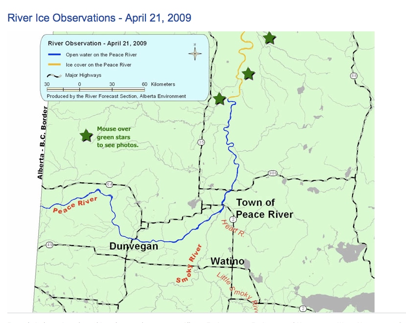
In doing research for the Trip Ideas page, I found a webpage from the Alberta government for ice monitoring in major rivers. I didn’t even know the government did that! It’s not like the old days, when people used the river for transportation and really needed to know when it was breaking up or how far the ice had retreated. This webpage will be great for us though, to see how open the Peace River is and when we can get out there in spring!
It doesn’t look like they monitor the freeze up, though — I only see reports for break-up. The scientist in me wants more data, but the paddler in me is satisfied with spring conditions only; the water stays open in autumn far longer than one would actually want to paddle it — November is just a bit too cold for most of us! Unless you’re training for an Arctic expedition, in which case, bring it on! 🙂
There’s an interactive ice conditions map, which shows the ice front (the image below is not interactive, though):

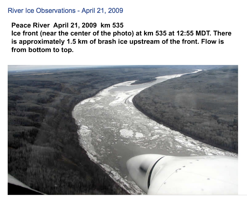
This is what you see when you mouseover the green star near the ice front (the most southern star):

Both these were taken from screen shots from the April 21, 2009 report. Photos courtesy of Alberta Environment.
So, besides water levels, weather info, rainfall, we now have access to ice reports as well. If only there were strategic webcams… I wonder how hard that would be? If AMA can do it for road conditions, why can’t we make one for river conditions? 🙂