In partnership with GeoTourism Canada, Flow North created a paddling guide for the Peace River. The maps and text is available online now (at the bottom of this page). We are also working on a print copy that you’ll be able to order online and buy at local map stores. Please contact us via email if you would like to be notified when the PRINT copies are ready — scroll down for a pdf you can download yourself.
We’ve written this guide to the Peace River to be both interesting and practical. From a practical standpoint, we’ve listed possible campsites, emergency road access, and 119 GPS waypoints for major stopping points, like boat launches, camping or rockhounding sites. The guide includes kml and gpx files as well as custom maps. Some major gravel bars and shallow areas are mentioned, but of course, the river is always changing, so it’s very hard to predict what areas will be problematic and what areas you’ll just float right over. The guide includes an introduction that discusses some trip planning and safety topics. Besides the practical stuff, we’ve also researched the history of the river, its landings and settlements, and included plenty of stories and geology. We know you will find this guide interesting and extremely useful!
To help you plan your trip, have a look at the overview below, read this page about trip planning. The last column of the table below indicates distance paddled if you start in the town of Peace River instead of Hudson’s Hope. Of course, there are many places along the river that you can start from, and you can calculate intermediate distances from the running totals. Guide #1 is about things to do in Hudson’s Hope, the starting point, and the paddling journey starts with Guide #2.
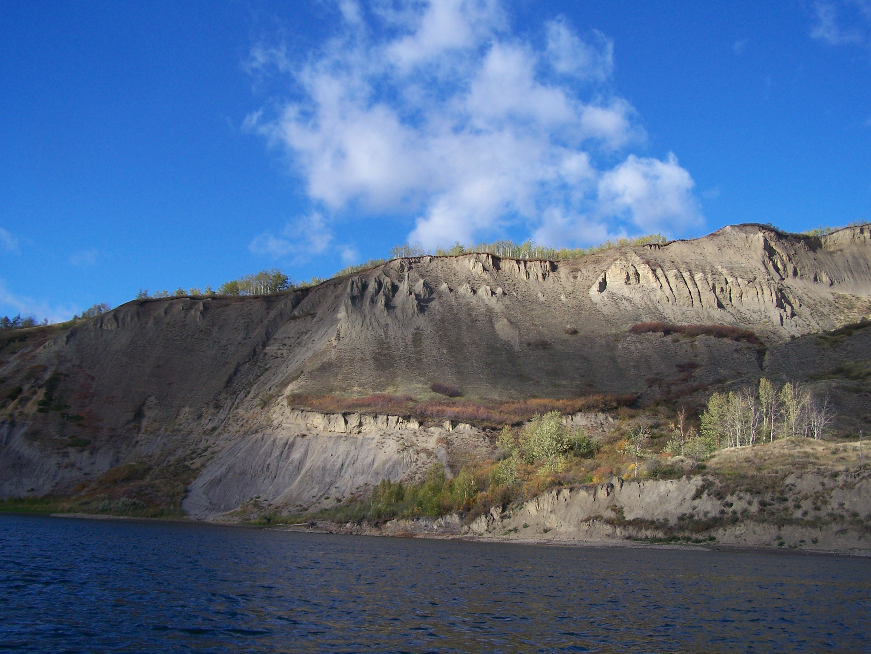
Hoodoos along the bank of the Peace River (near Taylor, BC)

Right side of “the Gates” near Hudson’s Hope, BC
| Guide # | Starts at | Ends at | Places along the way | Road access at the starting point? | km paddled | km from Hudson’s Hope | km from Peace River |
| 1 | Hudson’s Hope | Hudson’s Hope | W.A.C Bennett dam, Peace Canyon Dam | yes | 0 | 0 | |
| 2 | Hudson’s Hope | Halfway River | Lynx Creek, Gates, Farrell Creek | yes | 38 | 38 | |
| 3 | Halfway River | Island’s End | Bear Flat, Waterfall, Cache Creek | yes | 32 | 70 | |
| 4 | Island’s End | 101-km Campsite | Site C dam, Old Fort St. John, Taylor, 3 bridges | no | 31 | 101 | |
| 5 | 101-km Campsite | Driftwood Campsite | Beatton River, Raspberry Island, PR Corridor Prov. Park | no | 32 | 133 | |
| 6 | Driftwood Campsite | Cotillion Rec Area | Clayhurst Bridge, Pouce Coupe River, Clear River | no | 32 | 165 | |
| 7 | Cotillion Rec Area | Many Islands Park | Beverly (Deadman’s) Island | yes | 40 | 205 | |
| 8 | Many Islands Park | Pratt’s Landing | Montagneuse River, Carter Camp | yes | 41 | 246 | |
| 9 | Pratt’s Landing | Fort Dunvegan | Ksituan River, Dunvegan Suspension Bridge | yes | 28 | 274 | |
| 10 | Fort Dunvegan | Camp Island | Green Island, Long Island | yes | 42 | 316 | |
| 11 | Camp Island | Tangent Park | Kieyho Park, Peace Valley Guest Ranch | yes | 36 | 352 | |
| 12 | Tangent Park | Town of Peace River | Mackenzie Cairn, Strong Creek Park, several historic sites | yes | 24 | 376 | 0 |
| 13 | Town of Peace River | Graham’s Flat | Rail, highway and DMI bridge | yes | 32 | 408 | 32 |
| 14 | Graham’s Flat | Peace Island | Encampment Island, 30-mile well | no | 25 | 433 | 57 |
| 15 | Peace Island | Sunny Valley | Whitemud River, Cadotte River | yes* | 34 | 467 | 91 |
| 16 | Sunny Valley | McCracken’s Flat | Kulyna’s Flats | yes | 38 | 505 | 129 |
| 17 | McCracken’s Flat | Notikewin Provincial Park | Horseshoe Bend | yes | 42 | 547 | 171 |
| 18 | Notikewin Provincial Park | Beaver Campsite | pipeline crossing, nice beach | yes | 33 | 580 | 204 |
| 19 | Beaver Campsite | Cigar Island | Big Bend | no | 32 | 612 | 236 |
| 20 | Cigar Island | Old Carcajou | Howard’s Landing, Carcajou, Wolverine River | no | 33 | 645 | 269 |
| 21 | Old Carcajou | La Crete Ferry Campground | Armstrong Flat, Buffalo River, Keg River | yes* | 31 | 676 | 300 |
| 22 | La Crete Ferry Campground | Horse Point | Le Fleur’s Post, rockhounding, Horse Island | yes | 32 | 708 | 332 |
| 23 | Horse Point | Aspin House Area | Moose Island, La Crete Landing, Etna’s Landing | no | 36 | 744 | 368 |
| 24 | Aspin House Area | MacDonald’s (Wieler’s) Landing | Hungry Bend, Gooseneck Point, Prairie Point | no | 40 | 784 | 408 |
| 25 | MacDonald’s (Wieler’s) Landing | Fort Vermilion | Big Island, Lawrence Island, Highway bridge, Buttertown | yes | 28 | 812 | 436 |
yes* = Road access is not exactly at the starting point, but is there is access nearby (explained in detail in the guide).
**LINKS below are under construction. I apologize for the delay! The entire guide is such a big file, I have divided it into 3. Refer to the chart above to see which guides you need. There are a still a few small problems with creeks and small rivers not displaying properly when displayed on some computers. It’s a weird problem… Anyways, here you go! Thanks!**
| Download the first 9 Guides (31 MB, PDF file) | Download the KMZ file (for Google Earth) | Download the GPX file (for use in a GPS device) |
| Download Guides 10-17 (21 MB, PDF file) | Download the KMZ file (for Google Earth) | Download the GPX file (for use in a GPS device) |
| Download Guides 18-25 (23 MB, PDF file) | Download the KMZ file (for Google Earth) | Download the GPX file (for use in a GPS device) |
May 21st, 2024 at 12:37 am
[…] their trips beforehand. Teresa Griffith of Flow North Paddling Company has created an incredible paddling guide for the entire length of the river. It is available as a free download on her website and includes […]