– – – Part 3 in the Survival Gear Series – – –
Referring to our safety and survival gear list, let’s have a look at these two items:
– survival rations or protein bars
– extra water purification tablets
Let’s jump down to the food and water components: “survival rations or protein bars.” Basically, you should have food with you to provide needed calories while you wait to be found or facilitate your own rescue in some other way (such as walk out). Good survival food
– keeps for a long time
– provides lots of calories
– doesn’t take up too much space
– doesn’t create a lot of garbage (a good principal for all food for trips)
– isn’t overly smelly
This last one might not be obvious, but around here, if you were stuck in the bush overnight and cracked open a can of tuna or sardines to snack on, you’d likely become a snack for the wolves (or in summer, the bears)! Take something that isn’t quite so appealing to the wildlife. A good source of calories, although not particularly tasty, is bacon grease or butter. After all, the Voyageurs lived on pemmican, which is 50% fat and 50% dried meat and berries (when they didn’t have fresh meat or berries to eat).
As for water, it is very important not to become dehydrated while waiting for help to arrive. If you’re on a canoe or kayak trip, there’s bound to be water nearby, but do not drink untreated water from anywhere beavers or ducks swim. Beaver fever, properly known as giardia, is very serious — it will feel like the worst flu you’ve ever had. There is a slight risk of salmonella from water ducks swim in. For these reasons, make sure to bring some water treatment capsules in a waterproof container with you. We like Aquatabs) from MEC. They are super-easy to use. Simply add one tablet to a 1-litre water bottle (double it for particularly dirty/cloudy water) and let it sit for a half hour. If you have a mechanical water filter, it must be rated down to one micron in size and be properly maintained. You can also boil water to kill giardia — one minute of a full, rolling boil (2 minutes at altitudes above 2,000 m) — and then let the water cool.
Download our free Comprehensive Trip Packing List.
– – – Part 2 in the Survival Gear Series – – –
Referring to our safety and survival gear list:
– first aid kit
– extra band-aids
– first aid book
– signaling mirror
– matches in waterproof container
– fire starter sticks
– survival rations or protein bars
– extra water purification tablets
– reflective emergency blanket
– packet of salt
– cutting wire, pocket chainsaw, or folding survival saw
– multi-tool
– small bug spray bottle
Let’s look at the fifth and sixth items on that list: “matches in a waterproof container” and “fire starter sticks.” Basically, what you need to bring is some reliable method for starting a fire — creating a spark or flame — in a variety of conditions. Although starting a fire is not the first priority in survival situations — first is making or finding shelter — it is very high on the list of priorities. (You need to determine where your shelter will be before making a fire near it.) Fire can bring needed warmth, help you dry out wet clothing, help to signal search-and-rescue aircraft, keep wildlife away, and provide mental comfort as well.
Matches are one standard way of making fire, but there are other options:
– a lighter in a waterproof container (make sure it is full)
– strike-anywhere matches in a waterproof container
– flint and knife
– magnesium bar, flint and knife
Whatever method you use, make sure you are familiar with its function. Many waterproof matches will only work when struck against a special material that is on the side of the box — if you take the matches out to put them in a waterproof container, make sure you put a few pieces of the box material in as well. A bar of magnesium may seem like a good idea, since magnesium burns hot and bright, but if it takes half an hour to shave enough of it to start a fire, you could get awfully cold in that time if you are wet.
Once you have a spark or small flame, the next crucial step is getting the flame to keep burning. Obviously, you are going to look for tinder — anything fine and dry in the environment around you — but if tinder is hard to find, it is ideal to bring some with you. Dryer lint burns very easily, and if soaked in petroleum jelly, it will burn for longer. Some people swear by steel wool. Birch bark is nature’s tinder, so gather small pieces in areas where it is abundant — ALWAYS from the ground, not from living trees. In an area with evergreens, the small, dry twigs that grow on the trunk will stay dry in even the heaviest rain. This is also a great place to make a shelter — just prop up some additional wood, boughs or a tarp on the windy side.
Rather than reinvent the wheel, we refer you to another of “Cryptic Cricket’s” videos, this one on magnesium fire starters.
Using a Magnesium Fire Starter and Steel
The next survival article will be on food and water, so stay tuned.
Download our free Comprehensive Trip Packing List.
Survival gear is essential for a multi-day outing, but it is only as good as the brains behind it. That is to say, if you don’t know how to use the gear you’ve bought, it might as well be play-doh.
From our Comprehensive Trip Packing List, here is a suggested list of safety and survival gear:
– first aid kit
– extra band-aids
– first aid book
– signaling mirror
– matches in waterproof container
– fire starter sticks
– survival rations or protein bars
– extra water purification tablets
– reflective emergency blanket
– packet of salt
– cutting wire, pocket chainsaw, or folding survival saw
– multi-tool
– small bug spray bottle
(Please see the whole list for the big picture of what to pack.)
Some items are pretty straightforward, like the extra band-aids, but take a closer look and you may realize that you don’t know how to use all the gear. Could you quickly look up what do to for a sprained ankle in your first aid book? Do you know how to use a signaling mirror? Do those waterproof matches need a special strike material?
Even simple-to-use items like fire starter sticks have best techniques for use. Take some time this winter or spring to try out every piece of survival equipment you have. Make sure you can easily use each one; you may discover short-cuts or tricks for the best or easiest way to use your gear. You may also want to try magnesium instead of matches or a custom fire starting material instead of the store-bought kind. The key is to do this in a non-emergency environment and get really good at using your gear so that in a survival situation, it’s that much easier to keep your cool.
Over the next few weeks, we’ll be expanding on this survival list, giving you some tips and suggestions on what to keep in mind when choosing gear and how to use it. For now, we refer you to a great video on how to use a signaling mirror.
Using a Signaling Mirror
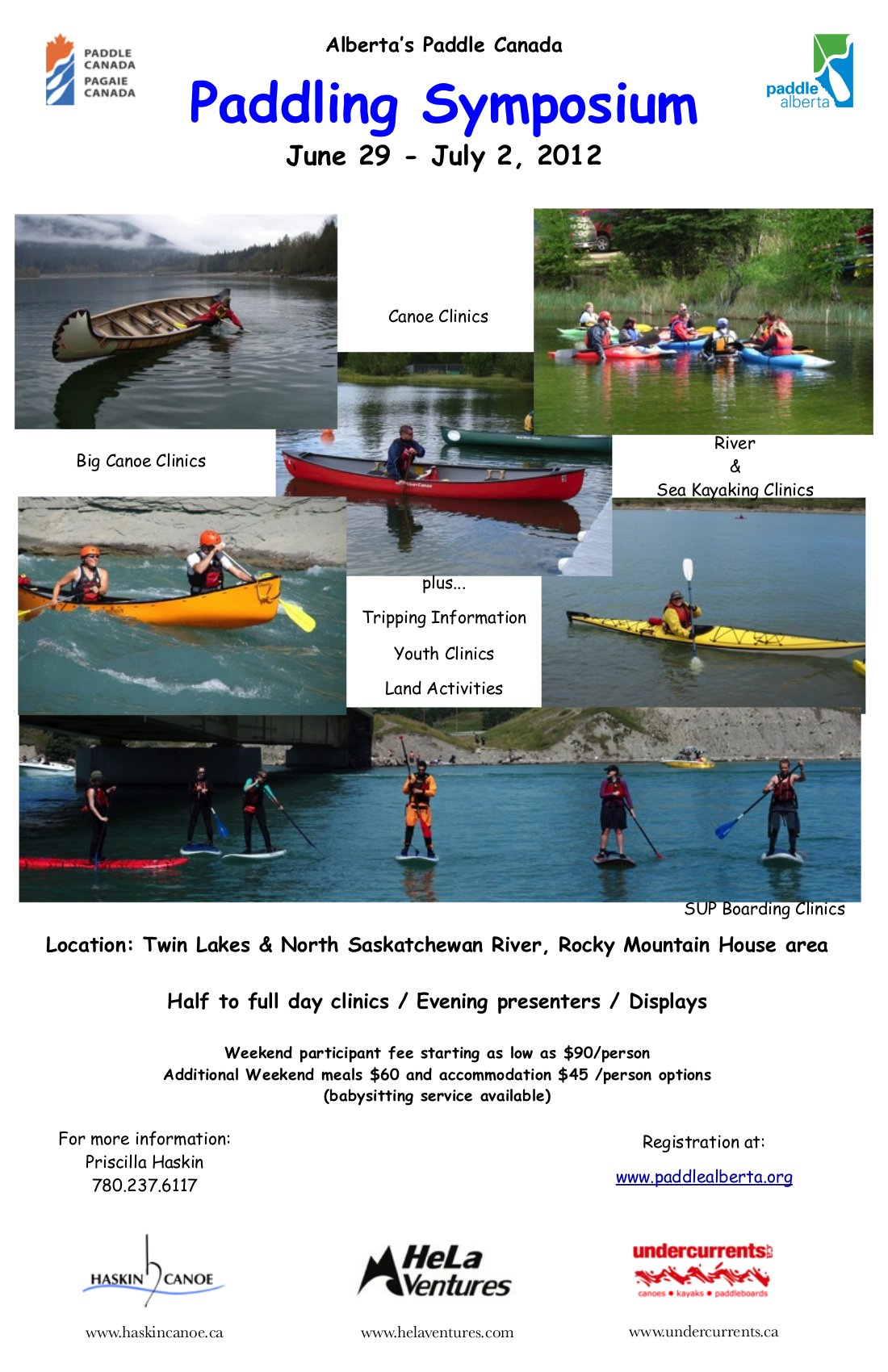
Mark your calendars! June 29 – July 2 is the Alberta Paddling Symposium!
For all things paddling, plan to go to the Paddling Symposium in Rocky Mountain House this year! There will be clinics on all aspects of canoeing, kayaking and even a chance to try stand-up paddle (SUP) boarding. It sounds like a ton of fun and the organizers have some really great activities in mind. It’s quite affordable too!
Please see the Paddle Alberta site for more information.
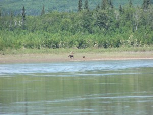
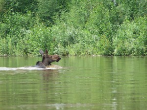
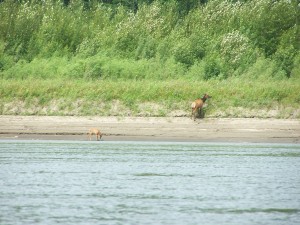
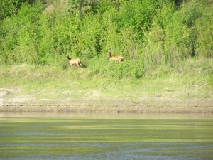
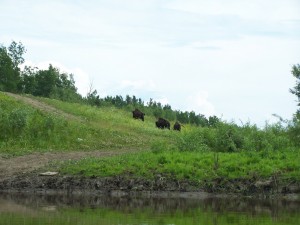
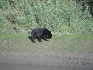
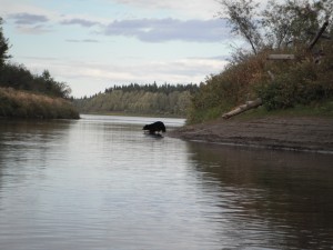
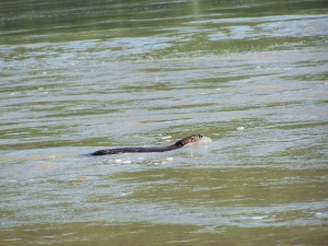
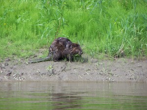
We thought we’d treat you to the best wildlife photos of the summer! You can expect to see all of these animals along the rivers we paddle in northwestern Alberta (click on any photo for a full-size version):
MooseElk |
Buffalo (Bison)Black Bears |
||
BeaversOtters |
Bald EaglesCanada Geese |
Just a few notes: The buffalo are only seen along parts of the Hay River — all other animals are fairly common along the Hay, Peace, or Chinchaga Rivers. Throughout the summer, we also saw other types of eagles, many ducks, Sandhill Cranes, and deer (mule and white tails). Also FYI, all the photos were taken on our various trips last summer (2011), except the first Elk photo and the second Canada Goose photo which were taken in 2010. Looking forward to this summer!
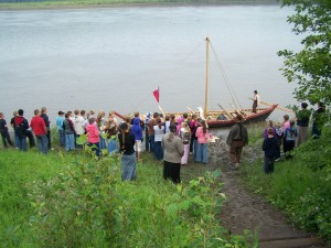
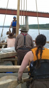
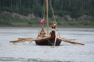
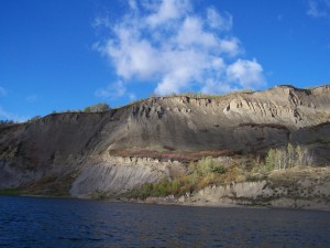
Last June, we ran the York Boat expedition on behalf of GeoTourism Canada. We still have hundreds of pictures we haven’t shown, so we thought we’d post a few more!
The last photo is courtesy of James Tupper.
Remember way, waaaaay back, when it was summer? 🙂 Well, we did an unprecedented York Boat expedition on the Peace River — 538 km, 18 days, one big wooden boat — and as a result, we had a lot of interest from people throughout Alberta. A group called Corner 24 Media made a promotional video about the northern Peace Region and, of course, featured the York Boat. Have a look!
On Wednesday, June 29, and Thursday, June 30, we ran a canoe camp in conjunction with the town of High Level. It was fully booked to a maximum of 10 kids, and we had a blast! The kids were awesome, the weather was good, and we had lots of fun.
We would like to extend a special thank you to Northern Express (780-926-0808), who provided the transportation from town to Footner Lake as a donation to help keep the cost of the camp down. They were great — as always, the drivers were friendly and helpful. On the first day of camp, a huge thunderstorm cloud rolled in, so we came off the water and then walked to the airport so we wouldn’t get soaked when the rain came. The Northern Express driver saw the storm, which was much more severe in town, and was so worried about us at the lake, and he actually came out to check on us! Now that’s service! We really appreciated it.
Thanks also to the town for doing such a great job advertising the camp and helping to make it such a success. Also, a big thank you to Char, who helped supervise the camp. You were such a big help!
There has already been some interest in running another camp later this summer, so stay tuned. We might offer one in late August. Send us a note to express interest and we will hold a spot for your child (11-15 yrs old).
Hello everyone! We’ve been working really hard, along with GeoTourism Canada and North Woods Canoe, to get ready for the York boat expedition! Just wanted to quickly update you on how it’s been going.
Teresa arrived at the “York Boat Factory” a little over a week ago, to have her first look at the boat. It was awesome! It was great to actually see it — she had been trying to picture the sheer size of it, but once she saw it, it wasn’t actually as overwhelming as she thought it would be. Over the next several days, she helped with a few small finishing tasks on the boat, which was a very neat opportunity. Unfortunately, we can’t upload any photos at this time, but GeoTourism Canada has lots of photos here.
The rest of the trip planning has been going well. An emergency plan is in place, as well as a meal plan. The crew will be feasting on dried moose meat, potatoes, carrots, turnips, oatmeal for breakfast, and “cracklings.” This is a fatty food, essentially just ground pork. It should be interesting! We will sleep with wool blankets, and wear our Yorkmen/voyageur costumes while we row and jackets made from Hudson’s Bay blankets in the evenings.
One reason for this update is to let you know that we have an opening on the crew! One of the men had to cancel (he has very good reasons we won’t disclose here, and he was very disappointed he can’t come). So, if you are interested, please fill in the form here as soon as possible! We start training this week, which, ideally, you can come for, but even if you can’t make it for all the training, or the whole trip, please apply. We know, it’s quite a long trip — June 1 to 18 — but if you can do half or so, please let us know! We can even accomodate 2 more people, if there’s a couple out there that would like to join us, or you’ve got a friend who would be keen!
We’ll try to update you more after we do the first lake trials this week! Stay tuned…
| We’ve mentioned before that Flow North has been working with GeoTourism Canada to create a guide for the Peace River, and it’s almost complete! It will be available on GeoTourism Canada’s Go Vado! website in a couple of months, but we thought we’d give you a sneak peak.
We’ve written this guide to the Peace River to be both interesting and practical. From a practical standpoint, we’ve listed possible campsites and emergency road access, and 119 GPS waypoints for major stopping points, like boat launches, camping or rockhounding sites. Some major gravel bars and shallow areas are mentioned, but of course, the river is always changing and with river levels fluctuating because of the dam, it’s very hard to predict what areas will be problematic and what areas you’ll just float right over. Besides the practical stuff, we’ve also researched the history of the river, its landings and settlements, and included plenty of stories and geology. We know you will find this guide interesting and extremely useful! To help you plan your trip, have a look at the overview below, read this page about trip planning, and then call us to reserve your boat! The last column of the table below indicates distance paddled if you start in the town of Peace River instead of Hudson’s Hope. Of course, there are many places along the river that you can start from — contact us if you want more info — and you can calculate intermediate distances from the running totals. Guide #1 is about things to do in Hudson’s Hope, the starting point, and the paddling journey starts with Guide #2. |
| Guide # | Starts at | Ends at | Places along the way | Road access at the starting point? | km paddled | km from Hudson’s Hope | km from Peace River |
| 1 | Hudson’s Hope | Hudson’s Hope | W.A.C Bennett dam, Peace Canyon Dam | yes | 0 | 0 | |
| 2 | Hudson’s Hope | Halfway River | Lynx Creek, Gates, Farrell Creek | yes | 38 | 38 | |
| 3 | Halfway River | Island’s End | Bear Flat, Waterfall, Cache Creek | yes | 32 | 70 | |
| 4 | Island’s End | 101-km Campsite | Site C dam, Old Fort St. John, Taylor, 3 bridges | no | 31 | 101 | |
| 5 | 101-km Campsite | Driftwood Campsite | Beatton River, Raspberry Island, PR Corridor Prov. Park | no | 32 | 133 | |
| 6 | Driftwood Campsite | Cotillion Rec Area | Clayhurst Bridge, Pouce Coupe River, Clear River | no | 32 | 165 | |
| 7 | Cotillion Rec Area | Many Islands Park | Beverly (Deadman’s) Island | yes | 40 | 205 | |
| 8 | Many Islands Park | Pratt’s Landing | Montagneuse River, Carter Camp | yes | 41 | 246 | |
| 9 | Pratt’s Landing | Fort Dunvegan | Ksituan River, Dunvegan Suspension Bridge | yes | 28 | 274 | |
| 10 | Fort Dunvegan | Camp Island | Green Island, Long Island | yes | 42 | 316 | |
| 11 | Camp Island | Tangent Park | Kieyho Park, Peace Valley Guest Ranch | yes | 36 | 352 | |
| 12 | Tangent Park | Town of Peace River | Mackenzie Cairn, Strong Creek Park, several historic sites | yes | 24 | 376 | 0 |
| 13 | Town of Peace River | Graham’s Flat | Rail, highway and DMI bridge | yes | 32 | 408 | 32 |
| 14 | Graham’s Flat | Peace Island | Encampment Island, 30-mile well | no | 25 | 433 | 57 |
| 15 | Peace Island | Sunny Valley | Whitemud River, Cadotte River | yes* | 34 | 467 | 91 |
| 16 | Sunny Valley | McCracken’s Flat | Kulyna’s Flats | yes | 38 | 505 | 129 |
| 17 | McCracken’s Flat | Notikewin Provincial Park | Horseshoe Bend | yes | 42 | 547 | 171 |
| 18 | Notikewin Provincial Park | Beaver Campsite | pipeline crossing, nice beach | yes | 33 | 580 | 204 |
| 19 | Beaver Campsite | Cigar Island | Big Bend | no | 32 | 612 | 236 |
| 20 | Cigar Island | Old Carcajou | Howard’s Landing, Carcajou, Wolverine River | no | 33 | 645 | 269 |
| 21 | Old Carcajou | La Crete Ferry Campground | Armstrong Flat, Buffalo River, Keg River | yes* | 31 | 676 | 300 |
| 22 | La Crete Ferry Campground | Horse Point | Le Fleur’s Post, rockhounding, Horse Island | yes | 32 | 708 | 332 |
| 23 | Horse Point | Aspin House Area | Moose Island, La Crete Landing, Etna’s Landing | no | 36 | 744 | 368 |
| 24 | Aspin House Area | Wieler’s Landing | Hungry Bend, Gooseneck Point, Prairie Point | no | 40 | 784 | 408 |
| 25 | Wieler’s Landing | Fort Vermilion | Big Island, Lawrence Island, Highway bridge, Buttertown | yes | 28 | 812 | 436 |
yes* = Road access is not exactly at the starting point, but is there is access nearby (explained in detail in the guide).
Don’t forget to fill in our “Perfect Paddling Trip” Survey!
