Well, I took Saturday, Sunday and Monday to finish the big trip on the Peace River I started in July, from Peace River (the town) to Fort Vermilion. I started at Tompkins landing, just a few metres from where I had finished about 5 weeks before. One major difference this time was that I didn’t have to dodge (or be aware of the comings and goings of) the ferry. The water level is so low, the ferry is anchored on the east side and not running at all. This means that all vehicle traffic has to drive to La Crete and Fort Vermilion the long way, through High Level. I definitely noticed the increased road traffic across the Vermilion bridge… but I’m getting ahead of myself.
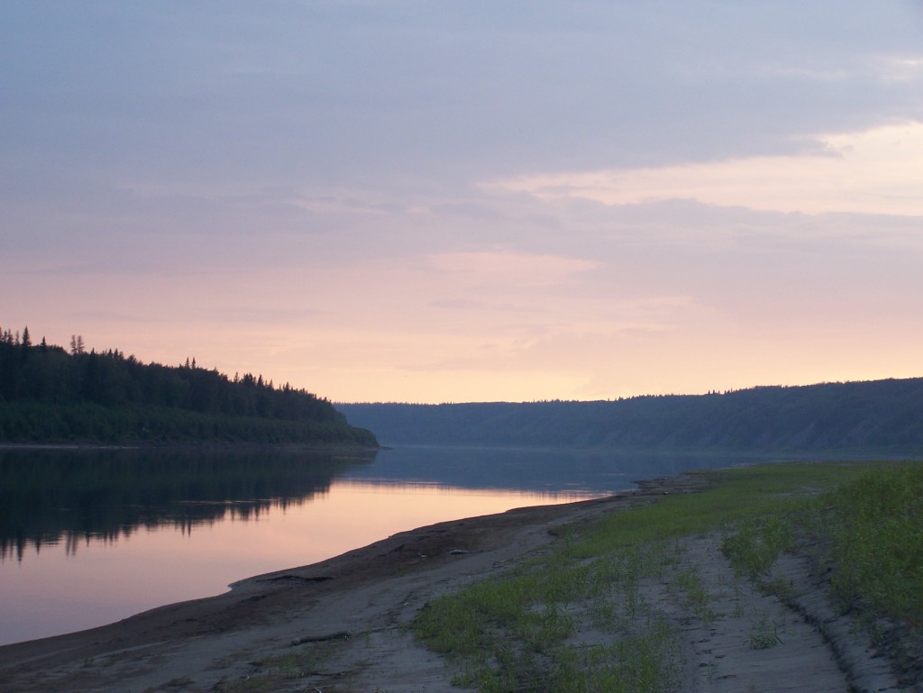
The trip went really well! It’s about 136 km, and I didn’t push myself the first day, going only 34 km. Remember, my goal in the original trip was 50 km/day, which I held to, which would have meant a slightly shorter leg of only 43 km on the third day. This isn’t how it went, though! I did 34 on the first day, as I said, 49 on the second day, and 53 on the third. Whew!
I had nice weather on all days, and generally felt like I was really picking up from where I’d left off. Except that it was a bit cooler now. I had almost all the same equipment, except I added a collapsible bucket but forgot to bring a facecloth or towel, which meant I didn’t really need the bucket! I really missed the facecloth and towel, and I’m not sure how I forgot them. I was a little less strict about my list, since much of the stuff was still packed in dry bags and simply had to be reclosed. Obviously I had to pack clothes again, and I brought a few more items — a wool sweater for example, which I wore on the morning of the third day. I hadn’t packed warm gloves, which I also wished for, since it was a little breezy and cool on the evening of the second day.
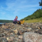
I found some really unique spots to camp this time, so I was very happy about that. The first night, for example, I camped beside a dirt-quad trail, thinking it probably never got used. Nope. I had 5 horses and one quad pass by me, twice. Once on the way down to the water and again on the way back. I thought I might get trampled by one horse who was very skittish. It seemed she could smell me, but since I was in my tent (I went to bed early that night), she couldn’t see me, and instead only saw an odd blue cube (what would a tent look like to a horse?)! So I popped my head out and said “hi” but this didn’t calm her much! Now I was a disembodied head sticking out of an odd blue cube!
I knew this trip would be less remote than other sections I’d done, but this was more company that I’d expected!
The second night I had no visitors at all, as I was much farther from any roads or trails. I took a chance down a narrow channel between an island and the shore and found a great little spot, albeit a bit lacking in wind protection. I learned patience while I sat and held up a thick drybag as a windbreak for the cookstove — and yes, a watched pot will eventually boil! Supper was very tasty that night, perhaps because I was a little more tired. As I breezed by Atlas Landing on the second day, I think the people fishing and relaxing there must have wondered about me… I didn’t stop, just came very close, took a GPS point, said “hi…. yes, I’m on my way to Fort… I’ll arrive tomorrow. Have a nice day!”
The third day was the toughie. Not just because it was the farthest, and not even the slowest current, but somehow it was the toughest. I think my body was getting very tired and I was fighting a cold. I ate a Mars bar for energy at one point and immediately felt my throat get sore — not a good sign! I tried to stay hydrated, but I think I got a little dehydrated too. You really have to be very careful about this! Although I found Gatorade helpful in the first part of my trip, I think the sugar wasn’t helping my impending sore throat. I have found that sugary and fizzy drinks give me a sore throat even when I’m not overdoing it by paddling 53 km in one day! I was also surprised by how tired I was since I even paddled 60 km one day on the first trip (mind you, I was pretty toast after that).
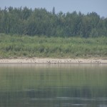
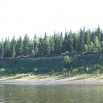
The scenery along this reach is lovely as always. Many of the islands show more erosion than deposition, which was interesting. They had steep cliffs showing layers instead of the long, gradual slopes. The water level was so low, there were sand bars showing — really, it was the river bed — beside some of these steep cliffs. It was weird to see! I mean, a long, gradual slope just shows more when the water is low! But when it’s a cliff, it makes an “L” shape, and you can see the base of the “L!” So besides discovering all the shallow spots, sand bars, and gravel bars, I even got to see the actual river bed.
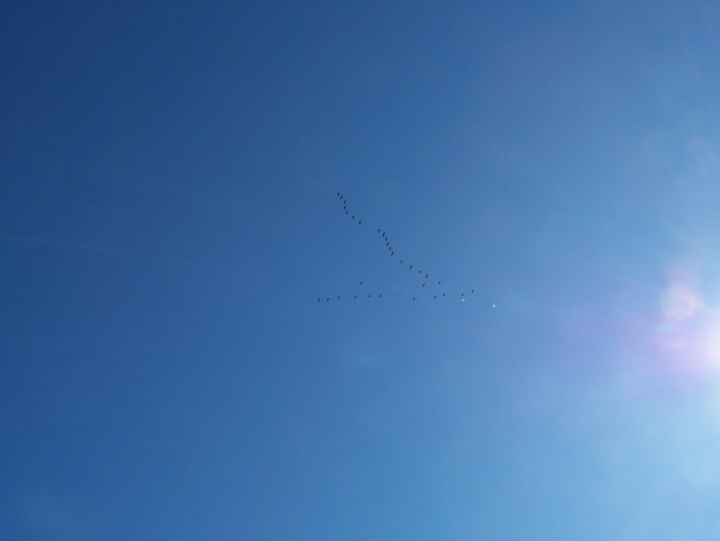
The BEST part about paddling at this time of year is the birds! I saw — no exaggerating — over 1000 sandhill cranes fly over me, and about 200 Canada geese migrating. I scared no less than 1000 Canada geese on the shores near Blumenort, but they didn’t start migrating. They just made a big ruckus, honking away, then flew around in circles or flew a little ways behind me and settled back again on the beach. I guess they weren’t quite ready for their Big Trip. 🙂 Overall, I bet I scared 2000 geese from along the shores (even though I never got very close)! By the way, the photo at left is Sandhill cranes, who fly very high and make wonderful “cooo cooo” noises that sound like they are gargling at the same time. Sometimes you can only hear them and can’t find them, they’re so high and so small. They’re very large birds, and quite a sight to see in large numbers! A friend and I saw a few hundred in a field about 2 weeks ago, and that was amazing too!
At long last, I saw the bridge that crosses the river, a lovely sight indeed. And truck after truck crossing it (remember, the ferry’s not running). I hope more than a few drivers looked out their windows, saw me and thought “man, that looks relaxing! I need a vacation!” I like to work hard, but I’m very much in favour of vacations! Perhaps instead they thought “geez, that person looks tired! She’s hardly paddling at all!” Um, ya, well, you would be too! I got a little extra wind (so to speak) after the bridge and paddled the glassy water to the welcome sign. How many villages do you know that have a welcome sign on their river? Then just a couple more km to the dock and I was done!
That’s all to report for now! I am still planning on doing the upstream reach of the Peace, from Hudson’s Hope (or thereabouts) to the town of Peace River. That’s about 375 km, which I was going to do in 7 days, but I might stretch it out a bit. The days are getting noticeably shorter (the sun sets at 9:15 pm now) and I think I’d like to try a more moderate pace of 30 km/day, with more time for exploring and campfire building! So, that’ll add up to about 805 km on the Peace — not quite half its length, actually. In case you think I’m
a) crazy,
b) nuts, or
c) bonkers
let me explain that I’m not just doing this to
a) be able to brag about how far I went this summer on my arms (the geese have me beat!), or
b) to have the most incredible core muscles ever (you should see me twist)!
I actually have really good reasons! They are
a) to have first-hand knowledge of the river so that when you rent a boat from us, we can really tell you what to expect, where you might like to camp, and some neat spots to explore, and
b) to write a Paddling the Peace guide for GeoTourism Canada (which you’ll all be able to download for free next spring), and
c) to write another book about all that I’ve learned on these long solo trips. Find out more about my first book here.
So there you have it. I am not nuts. I eat nuts. Then again, you are what you eat… 😉
